Aerial intelligence & geospatial services
BauldrinAerial surveys.
Maps, inspections & analysis.
Mapping, infrastructure inspection and environmental analysis. We turn aerial observations into maps, measurements and reports for informed decisions.
Observation → Analysis → Decision
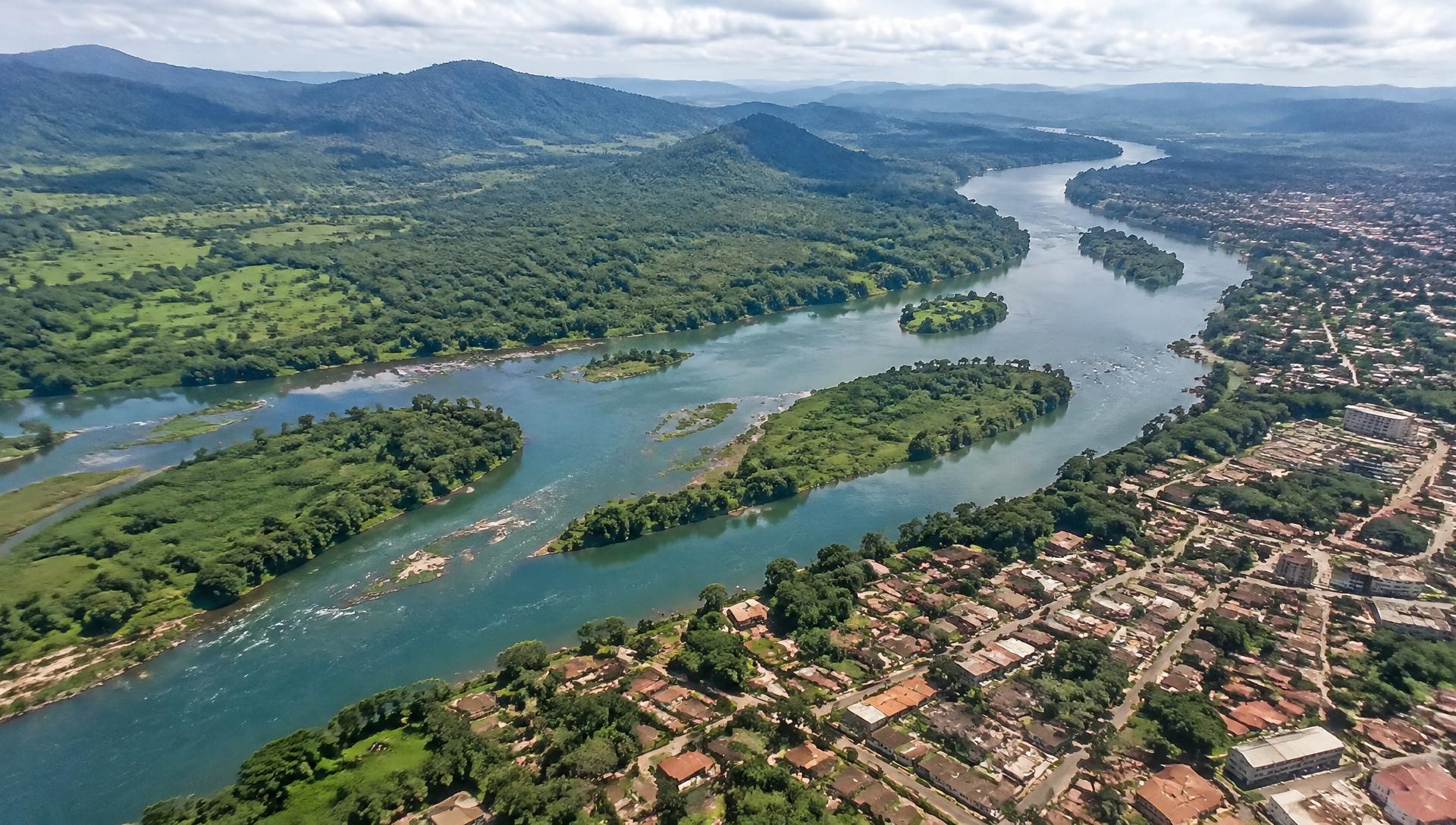
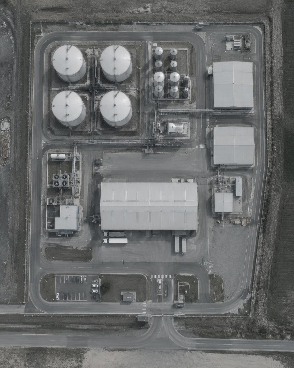
Illustrative aerial scene
How we operate
From observationto understanding.
01
Assess
Understand the environment, objectives and operational requirements. Define the survey area and the information that must come out of it.
We study the terrain, access, airspace and constraints before any flight. The result is a defined survey area, the required accuracy and a clear list of outputs.
- Survey area
- Constraints
- Required outputs
02
Deploy
Collect relevant aerial and geographic information using appropriate platforms and sensors, along a planned and documented flight pattern.
Flight lines, overlap and control points are planned in advance. Areas of interest are flagged on site so that collection stays complete and traceable.
- Flight plan
- Control points
- Areas of interest
03
Analyse
Process observations into maps, measurements, models and actionable findings.
Imagery is processed into georeferenced layers. Features are identified, measured and classified, then checked against the objectives defined at the start.
- Detection
- Measurement
- Classification
04
Deliver
Provide structured reports, geographic datasets and clear recommendations.
You receive a structured report, the geographic datasets in standard formats and recommendations that can be acted on directly by your teams.
- Report
- GIS datasets
- Recommendations
Project
[ — ]
Area
[ — ]
Date
[ — ]
Legend
- Priority area
- Detected feature
- Contour
Findings
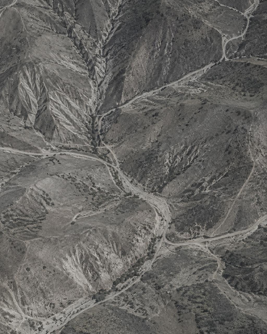
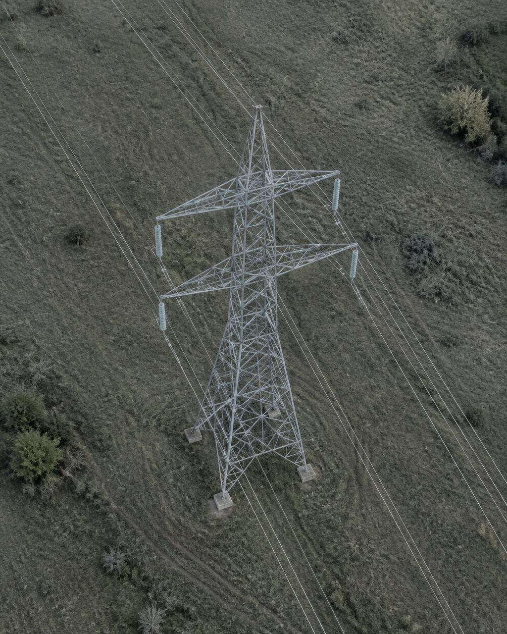
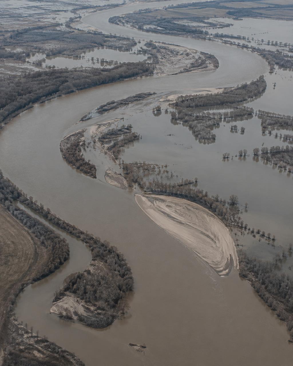
Terrain · Hydrology · Change
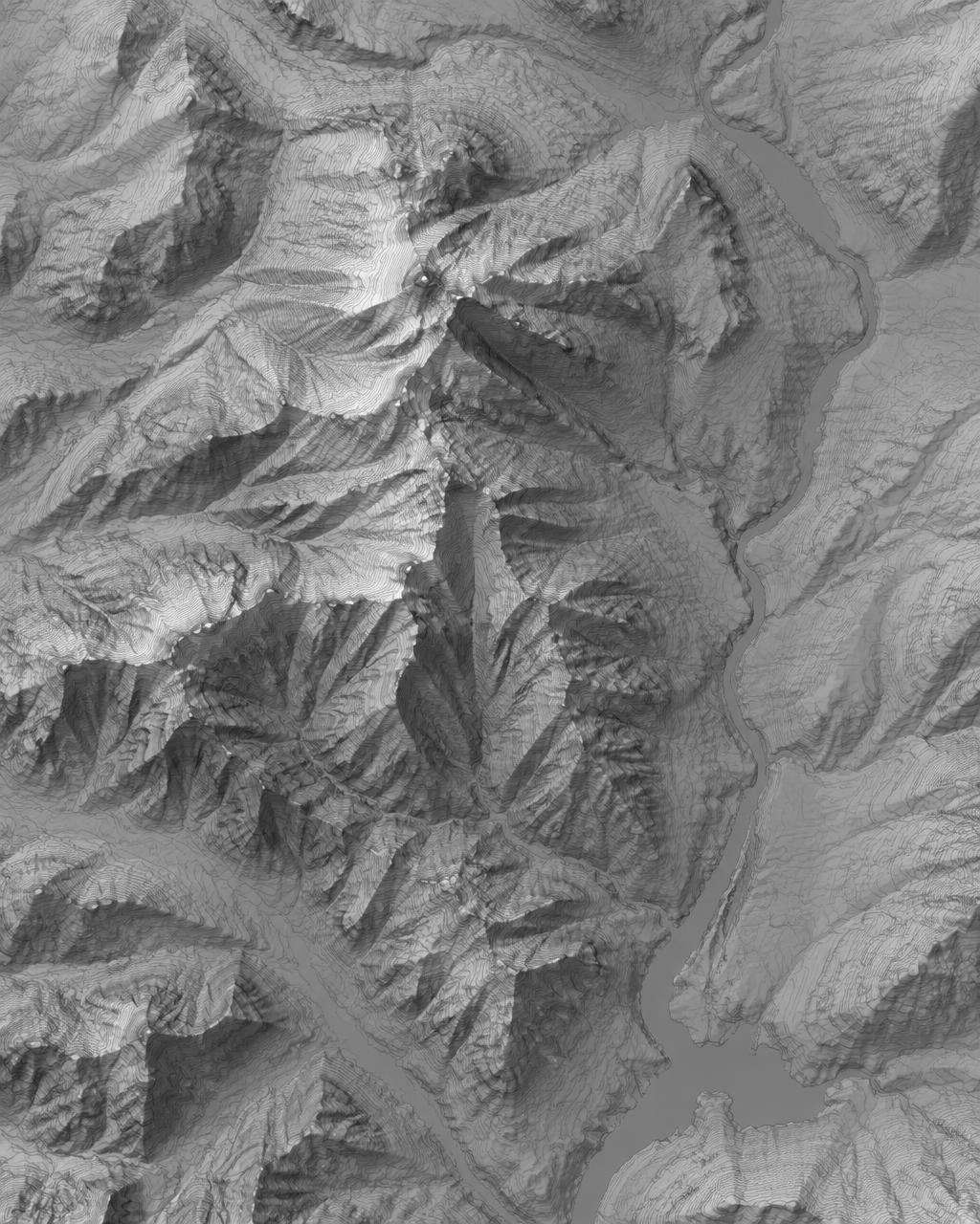
Understandingthe terrainchanges everything.
From terrain reconstruction to environmental monitoring, we transform geographic observations into information that supports better decisions.
Project questions
Clear questions.
Useful answers.
What we deliver, where aerial surveys help, and what to include in your project brief.